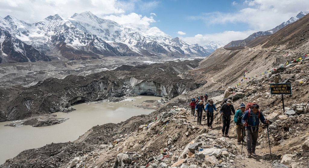
The Glaciers Are Moving Faster Than the Maps
The Gangotri Glacier, source of the Ganga, has retreated more than 1.5 kilometers over the past century, with the pace accelerating in recent decades. Trekkers returning to routes they walked five years ago are describing landscapes that no longer match their memory — snowfields replaced by exposed rock and loose scree.
Sikkim’s Wake-Up Call
In October 2023, a section of frozen moraine above South Lhonak Lake in North Sikkim collapsed, triggering a glacial lake outburst flood. The lake had grown roughly eightfold since 1976 as it filled with meltwater — a slow build that scientists had been monitoring for years before the break. Since then, the permitted trekking endpoint for the popular Goechala trek has been moved back from the original pass to an earlier viewpoint as a safety measure.
Water Sources You Can No Longer Rely On
Streams and springs that trekkers once used as reliable refill points along established trails are now either running dry earlier in the season or flooding unpredictably during the monsoon. Guides across the region report having to rebuild their mental maps of where water actually is, season by season.
What This Means If You’re Planning a Trek
Routes considered fixed for decades are now being reassessed every single season by local operators. High-altitude camps are being relocated, permitted endpoints are shifting, and “the trail I did last year” is no longer a safe assumption. Booking with operators who actively track these changes — rather than running the same fixed itinerary every year — matters more now than it used to.
Bottom Line
Himalayan trekking isn’t disappearing, but the version of it built on fixed, unchanging trails is. The mountains are rewriting their own maps, and trekkers need to travel with that reality in mind.


